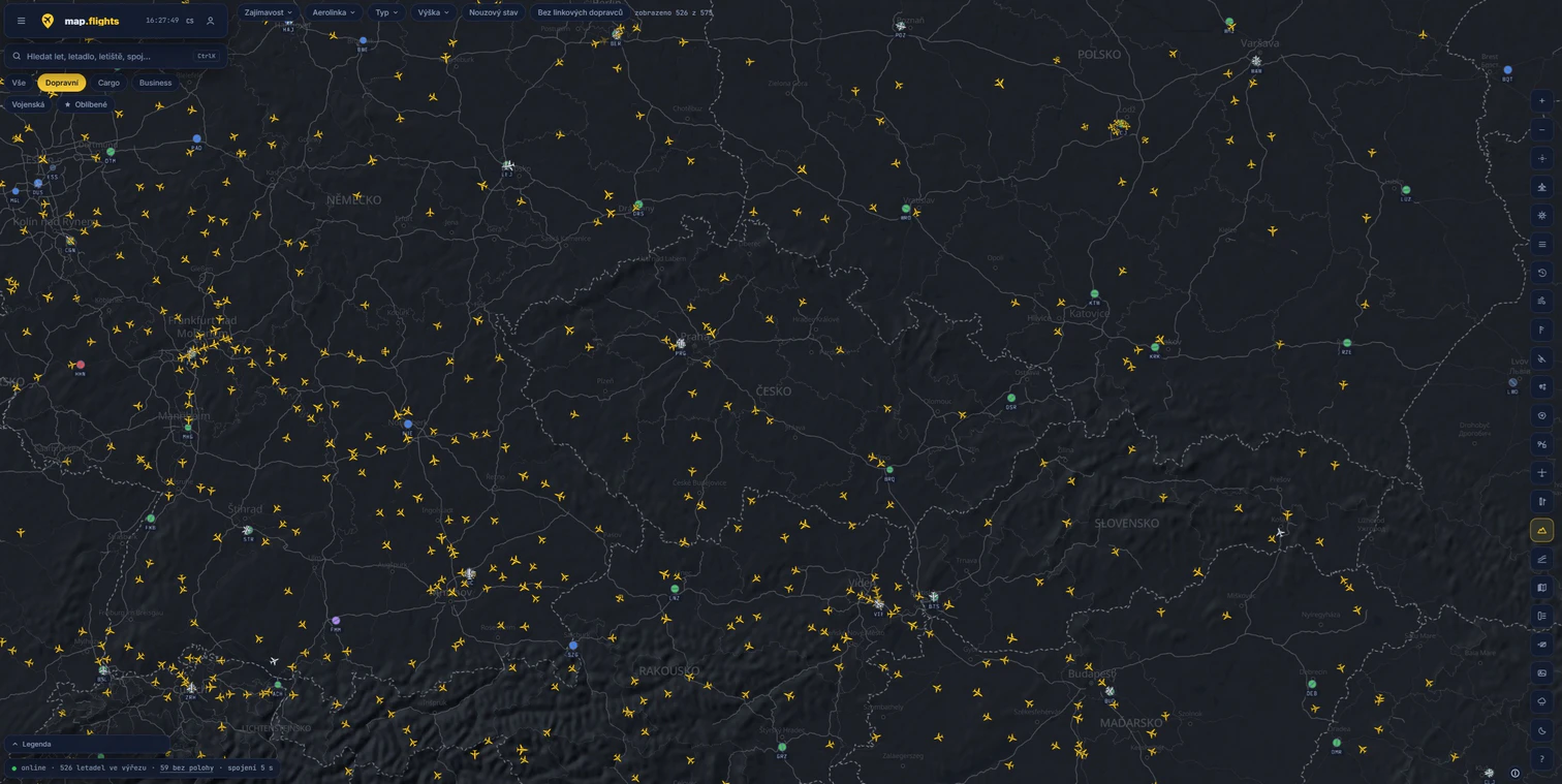
I only recently became aware of this excellent Czech project (depending on when you’re reading this, the website has been live since roughly September 2026). Much like on Flightradar24, you can track live air traffic here—completely free, in Czech (and other languages of course), without any ads. What’s more, for select airports, there’s even a 3D view available, which makes watching airport movements, takeoffs, and landings all the more engaging. The application also features a host of other settings and functions that I haven’t fully explored yet. In any case, if you’re an aviation enthusiast, I’m confident that for you, this will be like a child visiting a toy store—or a Lego shop! 🙂
Here you can listen communication between real world pilots and air traffic controllers. Many airports from all over the world are listed, including Václav Havel airport – LKPR.
Great page for aviation enthusiast. You can watch real air traffic almost in real time. You can view flight path, altitude, airspeed, origin and destination and even photo (if someone ever took a picture of that particular aircraft) for every displayed airplane.
This website offers awesome wind prediction in the form of simple animation. You can see what the wind is to be like on the whole planet and at various altitudes. And not just the wind, you can view temperature, pressure, humidity, clouds, precipitation and also waves.
Apart from normal weather predictions, the czech hydrometeorological institute website contains a lot of aviation weather predictions too.
Almost all information you need for flying over Czech Republic you will find here – informations about airports and airspaces, VFR and IFR approach charts, weather, NOTAMs etc.
If you like to fly with real world weather and you fly in the USA, this is the right place to get complete weather picture.
This site contains VFR and IFR aviation maps. In the beginning, only the USA and Alaska were covered, but the coverage grown worldwide. Very good source of charts, which is also free.